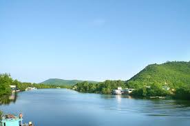
Phú Quốc lies south of the Cambodian coast, west of Kampot, and 40 km west of Ha Tien, the nearest coastal town in Vietnam. Roughly triangular in shape the island is 50 kilometres (31 mi) long from north to south and 25 kilometres (16 mi) from east to west in the north at its widest. It is also located 62 nautical miles (115 km; 71 mi) from Rạch Giá and nearly 290 nautical miles (540 km; 330 mi) from Laem Chabang, Thailand.
A mountainous ridge known as "99 Peaks" runs the length of Phú Quốc, with Chúa Mountain being the tallest at 603 metres (1,978 ft).
Phu Quoc Island is mainly composed of sedimentary rocks from the Mesozoic and Cenozoic age, including heterogeneous conglomerate composition, layering thick, quartz pebbles, silica, limestone, riolit and felsit. The Mesozoic rocks are classified in Phu Quoc Formation (K pq). The Cenozoic sediments are classified in formations of Long Toan (middle - upper Pleistocene), Long My, (upper Pleistocene), Hau Giang (lower - middle Holocene), upper Holocene sediments, and undivided Quaternary (Q)[2].\


